|
PERUGIA Transport in town -
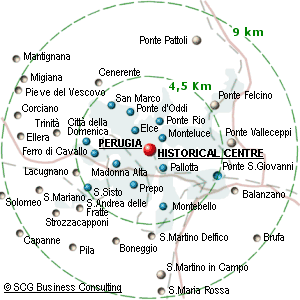
Town map
| The city of Perugia (Lat: 43 03 N;Long: 012 33 E),
stands at roughly 500 metres above sea level on a heavily sloping hill. The city is built over and between the risings of this hill and looks over the surrounding valley from a series of broad vantage points. The inhabitants of Perugia occupy the ancient city centre, which dates back to the Etruscans and Romans and is closed by ancient walls, as well as in a considerably more modern but still pleasant area of the city.
Download a detailed map of the Perugia Historical center (by Municipality of Perugia www.comune.perugia.it), Acrobat .pdf file 1.6 Kb.
Download a schematic map of the Perugia Historical center and surroundings (by Municipality of Perugia www.comune.perugia.it), Acrobat .pdf file 0.16 Kb.
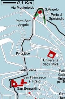
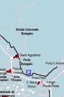
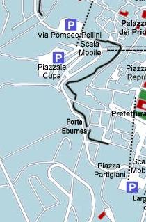
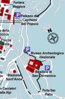
Perugia old town center Map
|
|
|
 |
| Periferia della città |
Perugia Online © Copyright 1997-2026 by SCG Business Consultig Sas di E.Giacomelli (www.scgconsulting.com)
|